More like if the oligarchs had let him try.
Especially as far as manifestos from high profile cases go.
This sounds awesome and I look forward to hearing more about it. It seems like this would be a major step forward especially with medium-range forecasts.
Even if it’s wrong I’m interested in discussing it further. I want to improve professionally as much as anyone else does and I appreciate the comments you’ve added.
I still am of the opinion that the vortex is in the early stages of forming and will be disrupted over the next several weeks by anamolous high pressure in Alaska/Siberia (possibly shifting eastward into October). The ECMWF op analysis on this website shows the lowering absolute temp and lowering 10 mb heights in the North Pole region over the past two weeks or so. Additionally, the circular stratospheric wind pattern is slowly returning (since about 9/7) and modeled to increase in the coming weeks.
Obviously it is not as developed as it will be later next month or as developed as the South Pole polar vortex currently is. I am curious to see how long the “heat wave” in Siberia/Alaska (and possibly the Canadian Arctic next month) lasts. I just think this pattern in the early stages of development plus La Niña foster conditions for sudden stratospheric warming events later in the season.
Edit to add: Is it a good forecast? I think so but maybe it will be and maybe it won’t, that’s just the nature of things. I stand by it though.
I think La Niña plays a bigger role for the whole season than this. Where I am (Vancouver, Canada), I expect below average temperatures and above average precipitation. The presence of a weak polar vortex signals a higher risk of at least one strong winter cold snap in North America, but we won’t know specifics until much further along in the season.
The polar vortex is present already and is slowly deepening. This is clearly evident in 10 and 30 mb height and wind charts.
Meteorological fall begins September 1. As noted, the polar vortex begins developing in August (because of the decreasing sunlight post-solstice) and isn’t full strength until later in the season. At this altitude in the poles (30 km up) thermal lag is less pronounced. Note the American Meteorological Society glossary says “the stratospheric polar vortex exists from fall to spring” (source). It is not just a winter phenomenon.
There is some predictive value in the strength of the polar vortex, especially with regard to the jet stream and sudden stratospheric warming events, but all seasonal forecasts carry uncertainty.
I am a meteorologist in Canada working primarily in the energy industry and have successfully used the polar vortex (among other parameters) in medium- and long-range forecasting several times. This has generally been in the context of deep troughs bringing heavy snow to Western Canada and the U.S. Northwest.
Of course, this being the internet readers can take or leave that claim. It was especially useful in early forecasts regarding an extreme cold weather outbreak in the U.S. Northwest in February-March 2019.
The term polar vortex has been thrust into the public consciousness over the last few years with media descriptions of very cold polar vortexes descending out of Canada into the Northern United Sta…
July is probably the peak like the other commenter mentioned, but if you want sunshine pretty much any time between mid-June and the beginning of September is good. If you’re like me and want rainy hikes with clouds clinging to forested mountains, come in October.
Texas is in the middle of a remarkable heat wave with widespread temperatures in excess of 100°F (38°C) throughout the state. On Tuesday, this brought ERCOT (the power grid covering most of the sta…
When the record was broken, solar was serving about 22% of load. A new record for solar energy generation in ERCOT was also set.
Juneau residents clear sodden homes after lake dammed by Mendenhall Glacier gives way in what is now yearly event
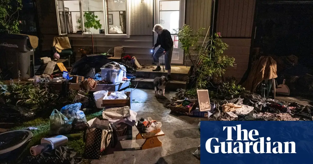
Glacial outburst floods in Juneau, Alaska are a direct consequence of climate change. The lake that forms behind the ice dam was formerly a glaciated area itself. Now water ponds there before getting around the ice dam and flooding neighborhoods in Juneau.
Chex mix. Add a little oil and spread it out on a baking sheet. Toss in the oven for a little bit to really get it in there.
Remember it’s every driver’s right to cause an “accident” that kills someone so they can save about 15 seconds of travel time.
Seems like they made the request, it was really unusually close.
If you live in a red state and want Trump to not get your EC votes, your most likely path to success is voting for Biden and trying as hard as you can to convince people who don’t usually vote to also do so. Voting for RFK won’t change the tally enough.
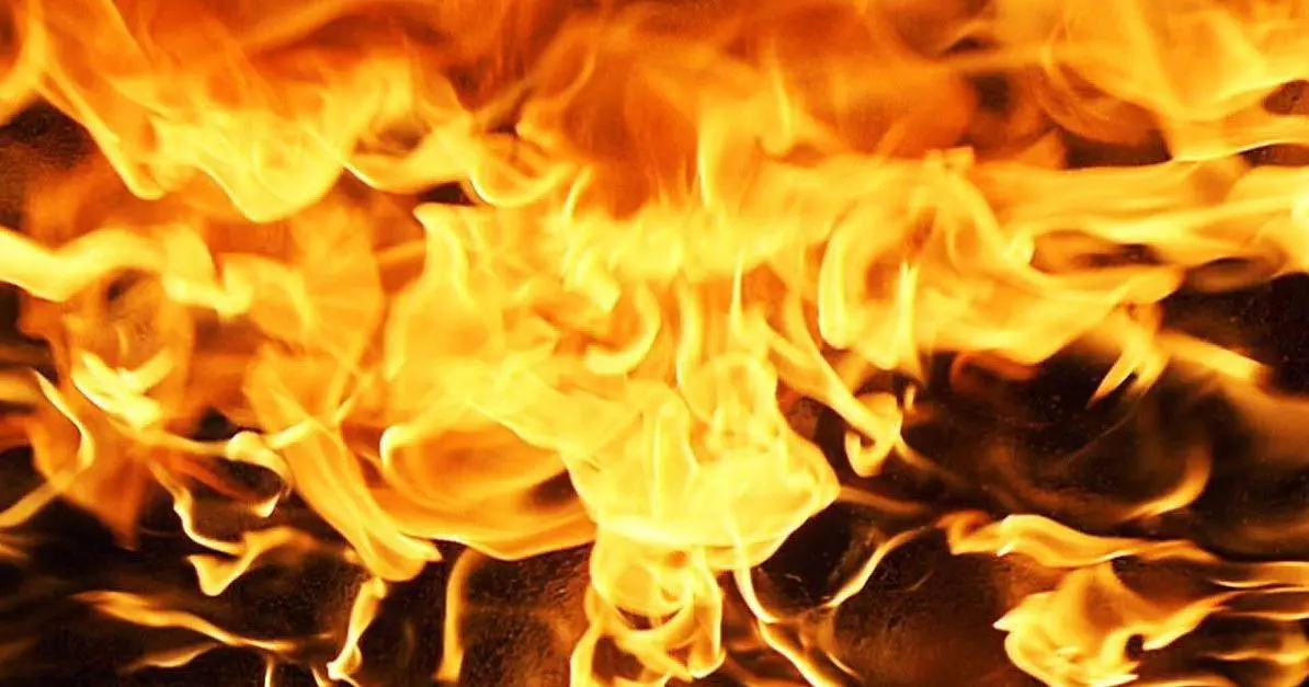
WALLA WALLA, Wash.-Firefighters responded to a house fire on July 15 reportedly started by a homemade torch.
No, it would not be weird. Yes, you might get complaints. Write what makes you happy.
Not only will his popularity increase, but this just motivated a lot of conservatives to actually get out and vote who otherwise wouldn’t have.
The Lord of the Rings series read by Rob Inglis is awesome. That’s probably my favorite way to consume the series.