The Powerful AI Tool That Cops (or Stalkers) Can Use to Geolocate Photos in Seconds
The Powerful AI Tool That Cops (or Stalkers) Can Use to Geolocate Photos in Seconds
For months members of the public have been using GeoSpy, a tool trained on millions of images that can find the location a photo was taken based on soil, architecture, and more. It's GeoGuesser at scale.
And I just assumed they called Rainbolt
It was free but mostly used by stalkers. It was very accurate. Now it's closed to the public because it's very profitable, and only the police are using it. Congrats to the developers! You made it. You sold your neighbors' safety to the oligarchs and their goons and now you can retire on a yacht, fanning yourself with money while the world burns.
Seriously. Fuck all the tech and programmer guys helping to accelerate our doom and subjugation.
Maybe this is why they want to expand the limitations for work visas. Bring people in who tend not to ask questions… Not at first, anyway. It takes a while to get the hang of how this American corporate greed thing works.
Geoguessr players: Look what they need to mimic a fraction of our power
What if the Geoguesser players are the AI?
The Powerful AI Tool That Cops (or Other Stalkers) Can Use to Geolocate Photos in Seconds
FIFY
I played with this a couple times. Once it located a nondescript stream in the UP of Michigan to within 200 miles. It knew the picture was taken in the UP. The second was a ferry dock in a foreign country (English speaking). It found a sign and that misdirected it to the other side of the country.
Remembering how good, kind and private life was in 1984
I wasn't impressed. Apart from the they provide for the demo, it found none of my photos.
Perhaps it gets better next time you repost?
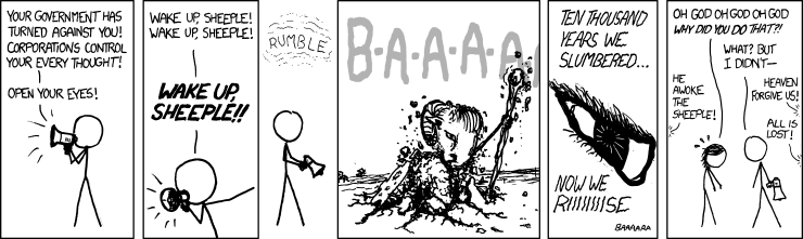
This has always been possible with anything anyone has ever posted publicly before social media. I'm glad sheeple are waking up.
So, take pictures in monochrome or apply some kind of filters is what you're saying?
the article mentions that the tool takes into consideration architecture, distance between buildings and so on. i think youd have to mess up the backgrounds somehow
Use unidentifiable backgrounds or remove them in post. I'd suggest small patches of sand, dirt or grass, walls, etc. Avoid anything that can be found on a map like mountains (and other large scale topography), buildings, power lines, etc.
The article is clipped. Is there a non-paywalled version
There are several other sources about it if you don't want (like me) a paid subscription to read a short article (Paywall skippers show a little more but are also all blocked)
- https://www.digitalinformationworld.com/2025/01/ai-that-finds-your-photos-technology.html
- https://yro.slashdot.org/story/25/01/20/2132207/the-powerful-ai-tool-that-cops-or-stalkers-can-use-to-geolocate-photos-in-seconds
- https://www.gadgetreview.com/ai-tool-can-pinpoint-photo-locations-in-seconds
- https://gigazine.net/gsc_news/en/20250121-geospy/
Even the app itself https://geospy.ai/
Can't you also attempt exif data?